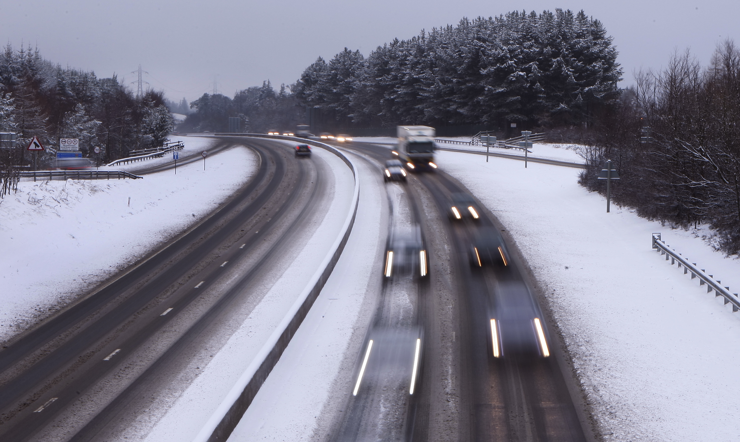
WEATHER warnings have been put in place for further snow flurries across parts of the UK.
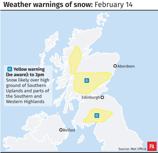
The Met Office said the south of Scotland and the Highlands will be worst affected, with possible transport disruption and a “small chance” of power cuts.
Snow could also fall in lower lying areas of northern England on Wednesday afternoon but is expected to be washed away by rain sweeping across the country.

Met Office meteorologist Aidan McGivern said: “It’s turning windy and wet from the west through the morning.
“Already we’ve got outbreaks of rain into western Scotland with winds picking up with gusts reaching 50 to 60mph.
“Temperatures will quickly begin to recover from 0C as the wind strengthens and the cloud pushes in from the west and the rain moves in.
“As that rain pushes into cold air in will fall as snow over the higher ground of northern England Scotland and northern England and, for a time, we could see sleet and snow down to lower levels but it is only temporary, it will soon turn back to rain.
“It will be mild in the south west, 11C or 12C, but under the wind and the rain it’s not going to feel particularly pleasant.
“Meanwhile, just 2C or 3C down the eastern side of Britain and again with the wind and outbreaks of rain and sleet it’s quite a miserable afternoon to come.”

Enjoy the convenience of having The Sunday Post delivered as a digital ePaper straight to your smartphone, tablet or computer.
Subscribe for only £5.49 a month and enjoy all the benefits of the printed paper as a digital replica.
Subscribe