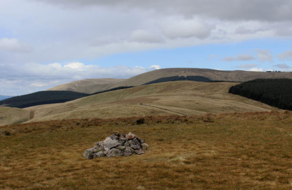
Living in northern Fife, any journey down to the south or west in the Central Belt sees us passing beneath the looming bulk of the Ochils.
Driving back towards them on a clear day, they look like a frozen tsunami of biblical proportions.
When travelling into the Highlands, the transition from lowland to hill country is more gradual – you have to go much further north to come across other such dramatic thrusts of geography, which makes them all the more special.
From the north the Ochils present a much gentler aspect, but there’s not much cycling on this side, beside the A9, as it winds down to Stirling.
The best riding in the Ochils lies at their extreme ends – Dumyat in the west and Pitmedden Forest in the east – but there are a few options in their central area.
Good weather is worth waiting for as these hills aren’t easy to navigate in poor visibility once you’re on top.
The central body of these hills is not a hotspot for off-road cycling as there aren’t many trails, but the area has other advantages.
It’s been said in these pages before – sometimes the advantage of the smaller hills is the perspective they offer.
Ben Cleuch, the largest of the Ochils at 721 metres (2,365 feet), isn’t particularly exciting on its own, but it is the highest point in an isolated range whose views encompass huge swathes of the southern Highlands and the central Lowlands. From famous Bens to the glittering Forth, as it winds its way from agricultural land to industrial Grangemouth, it’s a spectacular vantage point.
So much Scottish history has unfolded on these plains between Stirling and Edinburgh – from the Battle of Bannockburn to the latest Forth bridge.
Scotland’s Highland mountains are rightfully famous, but it’s accessible gems like these that are our outdoors bread and butter. The Sidlaws, the Kilpatrick Hills, the Pentlands, the Lomonds – it’s on these diminutive outliers that most of us escape the city or the suburbs, stretch our legs and spend time with friends.
They’re the training ground for bigger expeditions, but as we get used to them we can forget to explore them sometimes…
Location: Ochil Hills, north of Forth Valley
Distance: 13.5km (8 miles)
Ascent: 691m (2267ft)
Maps: OS Explorer 366 or Landranger 58
Parking: In the Ochil Hills Woodland Park, a turn off to the north at the western edge of Alva.
Top tip: As you’d expect for hills covered entirely in turf, the Ochils do not ride well when wet. Another reason to leave any attempt for a spell of fine weather.

Enjoy the convenience of having The Sunday Post delivered as a digital ePaper straight to your smartphone, tablet or computer.
Subscribe for only £5.49 a month and enjoy all the benefits of the printed paper as a digital replica.
Subscribe