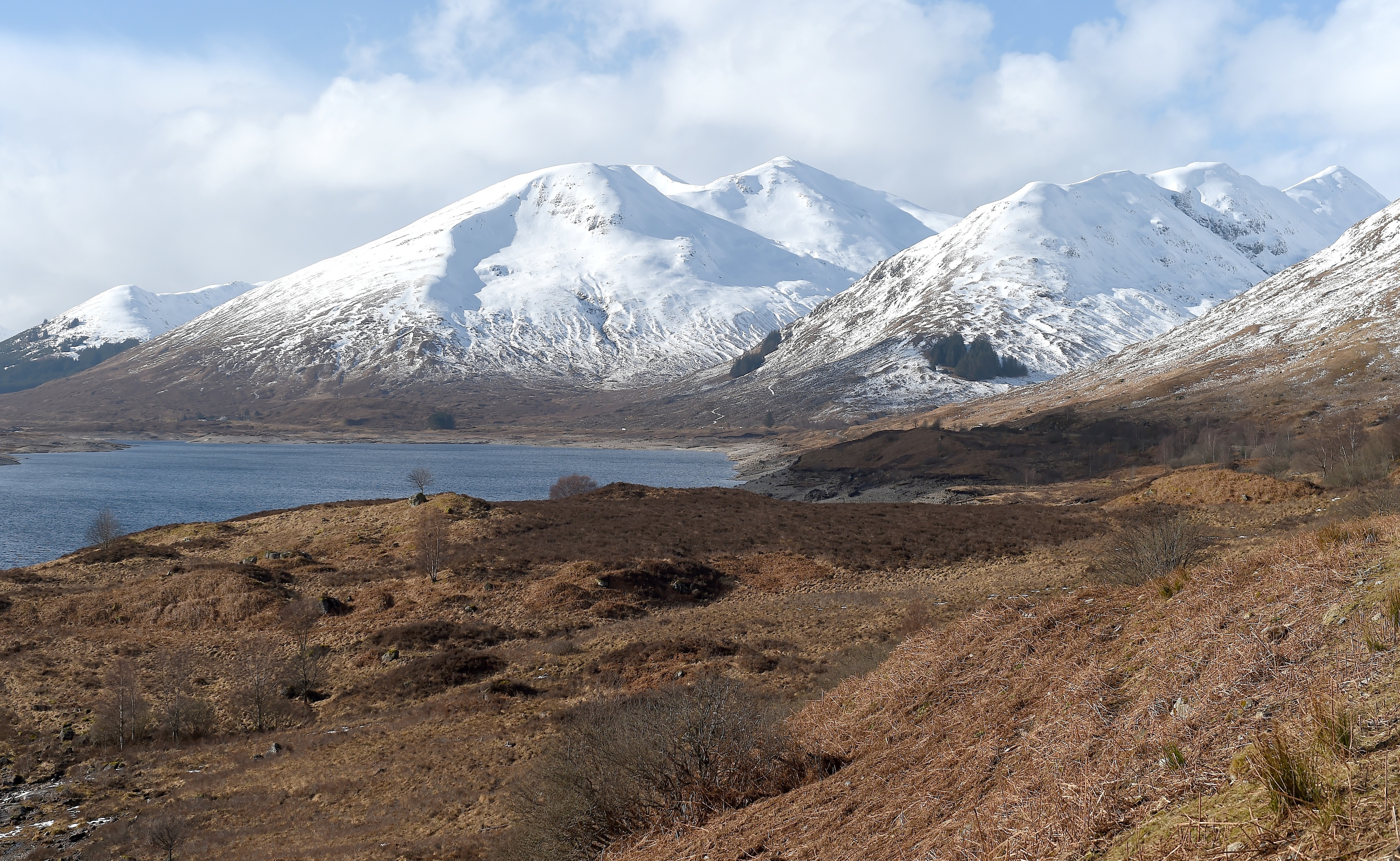
MORE snow could be on its way to Scotland from tonight and into the weekend as colder weather returns.
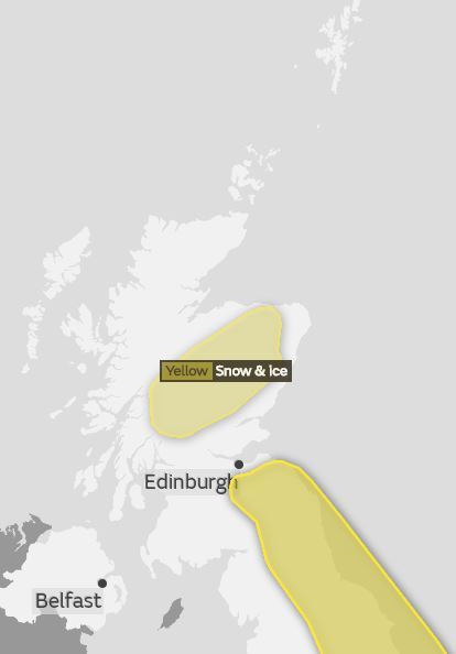
But while temperatures will dip across the whole country, the latest Met Office weather warning is only in place for parts of the Highlands and Grampian.
The Yellow warning for snow and ice covers mostly upland areas.
A band of rain will turn to snow over the highest level routes in Highland and Grampian overnight Thursday night into Friday morning, then gradually down to some lower levels through Friday afternoon and evening.
This band will slowly ease in the early hours of Saturday morning, but with colder air arriving from the east, ice will form on many surfaces.
Parts of the Borders may also experience some snow from Friday night into Saturday.
A Yellow warning is in place for eastern parts of England and extends up to just south of Edinburgh.
Temperatures are going to fall over the coming days ❄️ as cold air from the Arctic feeds across the UK by the weekend. The strong easterly wind ?️ will make it feel bitterly cold pic.twitter.com/E9vtGdXYT3
— Met Office (@metoffice) March 14, 2018
Across the rest of Scotland, weather will be much colder by the end of the week that the more mild conditions we’ve experienced so far.
There will be a lot of dry weather with some widespread sharp frosts at night and day-time temperatures will struggle to get more than a couple of degrees above freezing by Sunday.
The weather will remain cold for Monday, but the risk of snow diminishes.
As we head further into the week we’ll begin to see a return to conditions more typical for mid March.

Enjoy the convenience of having The Sunday Post delivered as a digital ePaper straight to your smartphone, tablet or computer.
Subscribe for only £5.49 a month and enjoy all the benefits of the printed paper as a digital replica.
Subscribe